CIWAB / Dept of Agricultural Engineering, Egerton University, Kenya
Online short Courses on Offer: Apply Now!
The Centre for Integrated Water and Basin Management (CIWAB) was established in 2017 through engagement with stakeholders from public, private and civil society organisations, and development partners. The Centre focuses on knowledge creation and dissemination for improved water security, livelihood diversification and ecosystem sustainability. Six thematic areas have been developed to constitute the functionality of CIWAB. These include: Water Governance, Catchment Protection and Rehabilitation, Water Resources Data, Economic Water-Use and Investments, Water-Use Efficiency and Saving, and Livelihood Diversification. At CIWAB, knowledge is created within the framework of these thematic areas and disseminated through several avenues including conventional and tailor-made courses. The courses are cross-cutting targeting policy makers, managers, researchers, practitioners and other beneficiaries in fulfilment of their needs. The overall objective of the courses is to improve water security as an enabler of economic growth and wealth creation. Potential participants are encouraged to join the courses and gain knowledge to enhance their skills in promoting wise use of natural resources especially water as a pre-condition for securing a sustainable future.
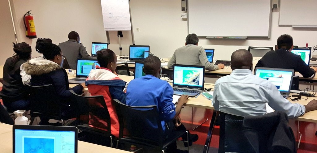
Online Training
These courses targets policy makers, managers, researchers, practitioners and beneficiaries in water and related sectors. The overall objective of the courses is to improve water security as an enabler of economic growth and wealth creation. Potential participants are encouraged to join the course and gain knowledge to enhance their skills in promoting wise use of natural resources especially water as a pre-condition for securing a sustainable future. It will be offered online through lectures, case study discussions and projects.
COURSE 01: Geographic Information System for Mapping, Planning and Management of Resources |
|||
|
Rationale |
Objectives |
Learning Outcomes |
Target Groups |
|
Escalating competition and unsustainable demand for water, land and other natural resources continue to affect livelihoods and impacting on ecosystems and socioeconomic development. Therefore, to improve the optimization and sustainability of the natural resource use, there is need to adopt Earth Observation (EO) and Geographical Information Science (GIS) techniques for improved decision making of management of natural resources because specific and detailed information is presented about one or more locations.. GIS analysis can be used for early trend detection, and rapid assessment of spatial phenomena thus reducing costs and increasing efficiency. |
|
|
Practitioners, Researchers, Managers & Post graduate students |
Period, Duration & Costs |
|||
|
Period: 15th – 26th November, 2021 Duration: Ten (10) Days Costs: Ksh 40,000 (400 USD) to cover tuition only |
|||
COURSE 02: Integrated Water Resources Management (IWRM) Short Course |
|||
| Rationale | Objectives | Learning Outcomes | Target Groups |
| The course is intended to provide knowledge and understanding of principles and concepts of IWRM. It provides the chronology of progression of IWRM as a tool that is universally accepted as being comprehensive and inclusive in ensuring effective operationalization of water resources management in a heterogeneous landscape. Water as a cross cutting commodity and is a major component in a number of development sectors. In addition it is transboundary at both micro and macro scales and therefore its use and management require good practices which are highlighted in this course. Also highlighted are the conditions for implementation of IWRM and modalities of establishing them to promote equitable sharing of water resources and harmony among users. The course includes case studies to promote understanding and application of IWRM principles and concepts, responsible behavior in water resources protection, alignment to global protocols, regional policies, and national and local development programmes. |
|
|
Water practitioners and experts, Natural resource managers, professionals, and Beneficiaries |
Period, Duration & Costs |
|||
|
Period: 15th - 26th November, 2021 Duration: Ten (10) Days Costs: Ksh 40,000 (400 USD) per course to cover tuition only |
|||
COURSE 03: Remote Sensing and Earth Observation Technologies for Natural Resources Mapping |
|||
| Rationale | Objectives | Learning Outcomes | Target Groups |
|
Remote Sensing is the science and technology through which characteristics of objects of interest can be identified, measured or analyzed remotely or from a distance, either passively or actively. RS technology can be used to monitor and classify changes in land use and land-cover at macro and micro-scale in both spatial and temporal domains. Through this technology it is possible to get reliable information from inaccessible and remote areas essential for planning natural resources use and conservation |
|
|
Practitioners, managers, postgraduate students & Researchers |
Period, Duration & Costs |
|||
|
Period: 15th – 26th November, 2021 Duration: Ten (10) Days Costs: Ksh 40,000 (400 USD) to cover tuition only |
|||
Application submission
-
Click here to download application form.
-
Fill out and send the application form to email address; This email address is being protected from spambots. You need JavaScript enabled to view it.
Payment Details
Bank: Kenya Commercial Bank, Egerton University Branch
Account Name: Egerton University Fingerpond
Account No: 110 189 356 7
Branch Code: 01_252
Swift Code: KCBLKENX
City: Egerton
Country: Kenya
Enquiries to address below
CIWAB Coordinator c/o Department of Agricultural Engineering,
P.O. Box 536-20115, Egerton, Kenya;
E-mail: This email address is being protected from spambots. You need JavaScript enabled to view it.;
Mobile +254 708920465